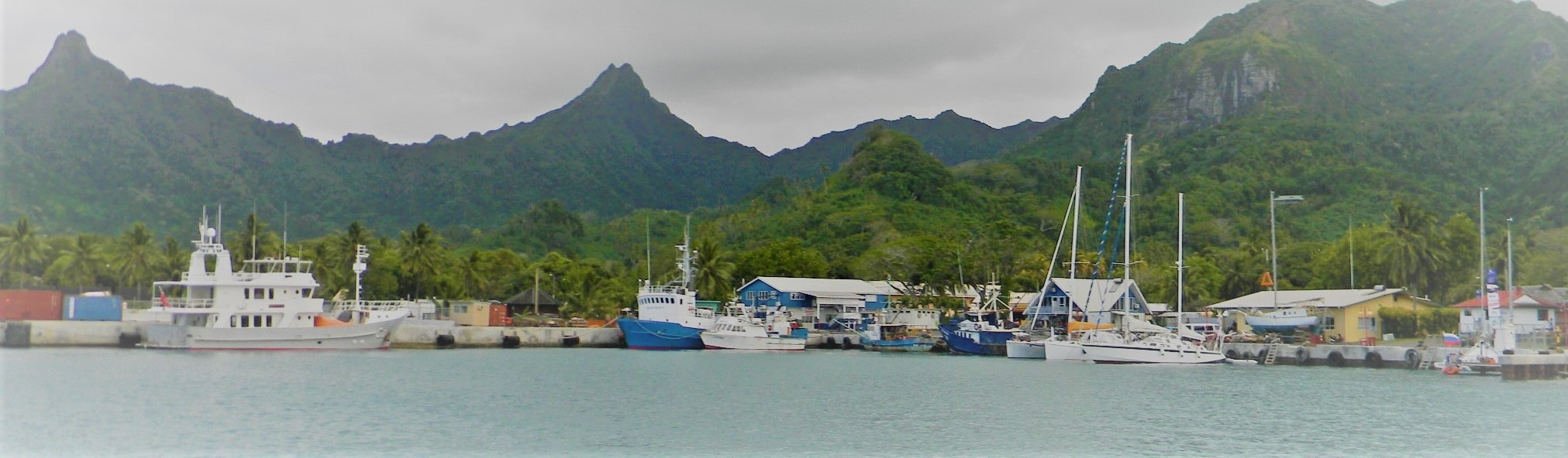
Cook Islands
National Legislation
The Cook Islands Maritime Zones Act 2018 is the primary legislation defining the Cook Islands’ maritime zones. The Act defines the baseline of the territorial sea, internal waters, contiguous zone, exclusive economic zone and continental shelf. The limits of the maritime zones defined in the Act are declared in four separate regulations.Territorial Sea Baselines
The Maritime Zones (Baselines of Territorial Sea) Regulations 2020 defines theMaritime Boundaries of
Cook Islands
Legend
Exclusive Economic Zone
Datasets
Treaty Line
Datasets
Extended Continental Shelf
Datasets
High Seas Limit
Datasets
Datasets
1. Pathway to maritime zones

Completed
1. Low water line mapped

Completed
2. Baseline developed

Completed
3. Archipelagic status assessed

Completed
4. Maritime Limits Calculated

Completed
5. Shared boundaries identified


Completed
7. Harmonize legislation

In progress
8. Declare baselines and limits

Not started
9. Baselines and limits Deposited

Not started
10. Publication
2. Pathway to Maritime Boundaries Treaty
2.1 Treaty in force


2.2 Treaty signed but not yet in force
N/A
2.3 Treaty not signed
3. Extended Continental Shelf Pathway
Manihiki Plateau

Completed
1. Preliminary Submission Lodged

Completed
2. Submission presented to CLCS

Completed
3. Sub-commission elected

Completed
4. Recommendation by sub-commission

In progress
5. Recommendation lodged with UNDOALOS
Related Datasets
Organization:
Cook Islands Office of National Hydrography and Geo Science
Organization:
Cook Islands Office of National Hydrography and Geo Science
Organization:
Cook Islands Office of National Hydrography and Geo Science