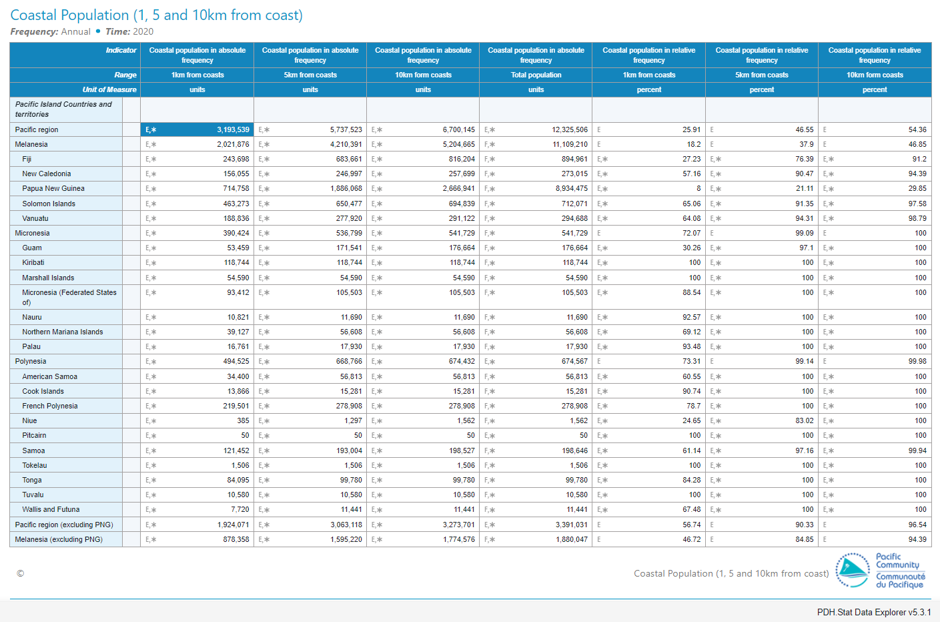
Understanding population distribution along coastal areas in the Pacific is crucial for a range of applications including food security and disaster management. A collaborative project between SPC, WorldFish and the University of Wollongong has produced the first detailed population estimates of people living close to the coast in the 22 Pacific Island Countries and Territories (PICTs). These estimates are stratified into 1, 5, and 10km zones. The methodology paper "Coastal proximity of populations in 22 Pacific Island Countries and Territories" was published in September 2019.
The results of the analysis reveal that half of the pacific population resides within the 10km coastal strip but jumps to 97% when Papua New Guinea (PNG) is excluded. Besides 26% of the population lives less than 1km from the coast, without PNG this percentage increases to 57%.
A range of tools and data services are available in the Pacific Data Hub for users willing to explore and analyze datasets and results related to this project.
The results of the study can be explored at the indicator database explorer PDH.Stat Data Explorer
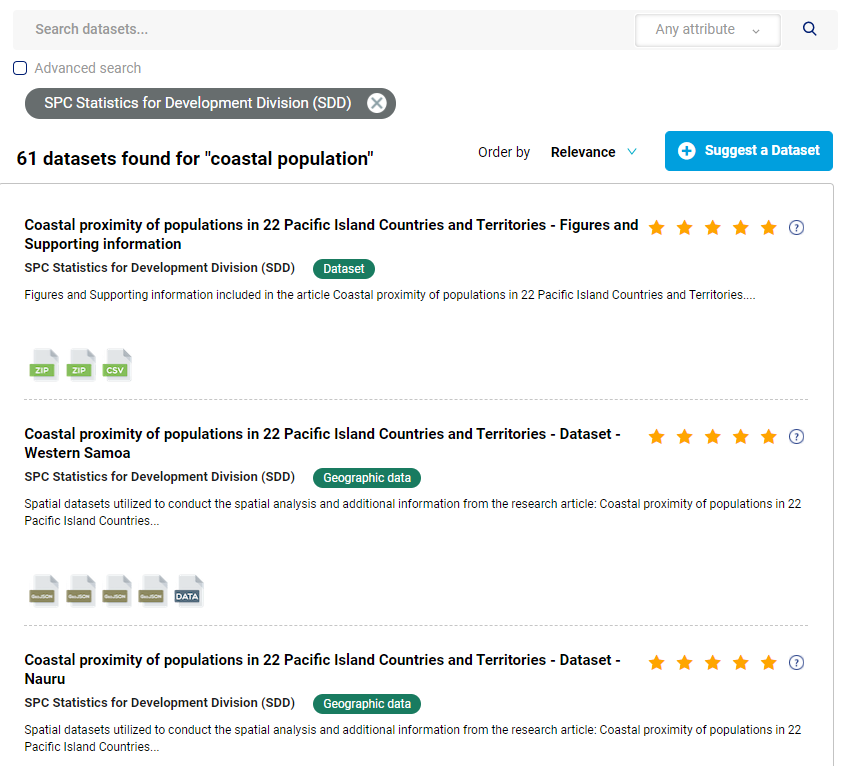
The datasets utilized to conduct the spatial analysis and additional information related to the study are available on the Pacific Data Hub Catalogue
All the geospatial data available on the Pacific Data Hub Catalogue is linked to the Pacific Map to allow users an easy map visualization:
